
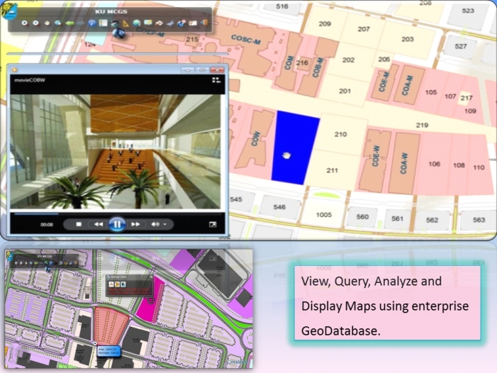


The master Plan of Sabah Al Salem University City Project (SSUC) included the creation of enterprise GIS System that allows capturing, storing, managing and publishing GIS data to meet the project requirements.
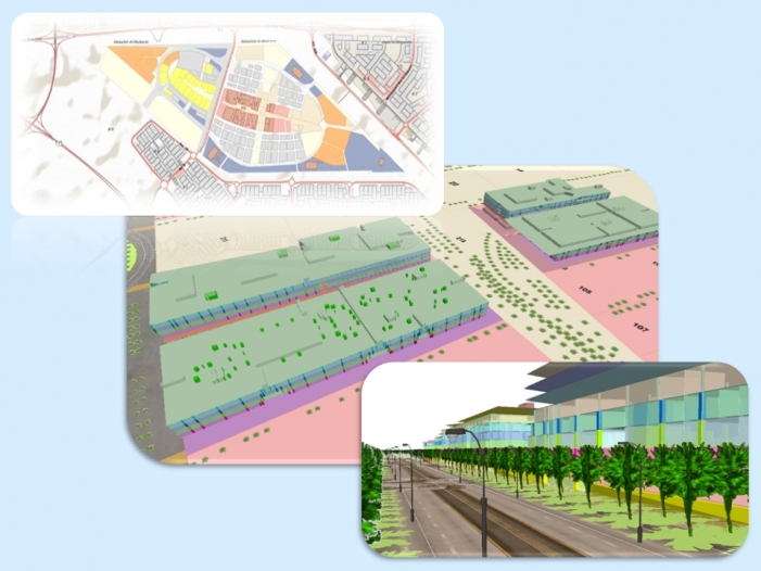
The Enterprise GIS System allows 2D & 3D visualization of Master Plan, Colleges including floor plans and structural features, progress reporting using time slider. It allows space plan and utilization based on by size, type, and even proximity of the facilities for equipments and university staff.
The Enterprise GIS System Developed for Sabah Al Salem University City Project is primarily developed using Esri Desktop and Server Technologies. The solution is an integration of web based and desktop application using software from ESRI, Telvent GIS i.e. ArcFM for electric and water utilities, Telecordia Network Engineer for Telecom Utility and Archibus for Space Management, Move Management, Asset Management and Building Operations.